Loading image

Camp Helen State Park
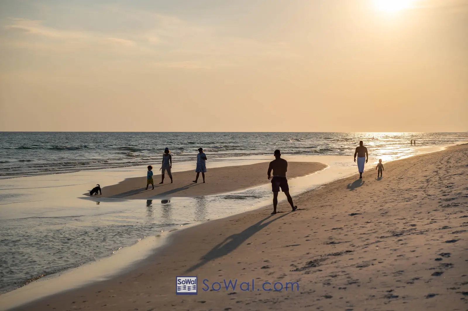
Camp Helen State Park is bordered on three sides by the Gulf of Mexico and Lake Powell, one of the largest coastal dune lakes in Florida.

Showing 1 - 12 of 29 items
Get oriented before you go.
Camp Helen State Park is bordered on three sides by the Gulf of Mexico and Lake Powell, one of the largest coastal dune lakes in Florida.

Cessna Landing is a county park on Highway 393 a few miles north of US 98 on Hogtown bayou.

Coffeen Nature Preserve is hidden away between Topsail Hill Preserve State Park and Sandestin.

Cowford Landing is on the Choctawhatchee River, just off Hwy 20 east of Ebro and Hwy 79.

Deer Lake State Park is a 1,920-acre park which shares its name with the coastal dune lake within its boundaries.

Eden Gardens State Park consists of 163 upland acres just north of Seagrove Beach, across highway 98 in Point Washington, along the shores of Tucker Bayou and the Choctawhatchee Bay.

About an hour northeast of SoWal, just off I-10 at Chipley, Florida, Falling Waters State Park features huge trees and fern-covered sinkholes that line Sink Hole Trail, the boardwalk that leads visitors to Florida’s highest waterfall….

NOTE Florida Caverns State Park suffered major damage from Hurricane Michael in 2018.

The 60-acre Freeport Regional Sports Complex at Hammock Bay is nestled within the Hammock Bay community and can be accessed via Great Hammock Bend or Bay Loop Road.
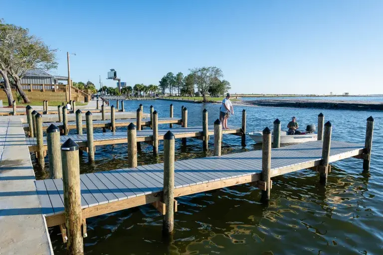
Grady Brown Park is located on the north side of the bay at the Clyde B.

Grayton Beach State Park is one of the most popular state parks in Florida, with massive dunes, winding trails, abundant wildlife, and shimmering 100-acre Western Lake, one of many coastal dune lakes gracing Scenic Highway 30A along Scenic 30A in South Walton (SoWal).

At Henderson Beach State Park, pristine white sugar sand beaches and more than 6,000 feet of natural scenic shoreline border the emerald green waters of the Gulf of Mexico.