Loading image

Camp Helen State Park
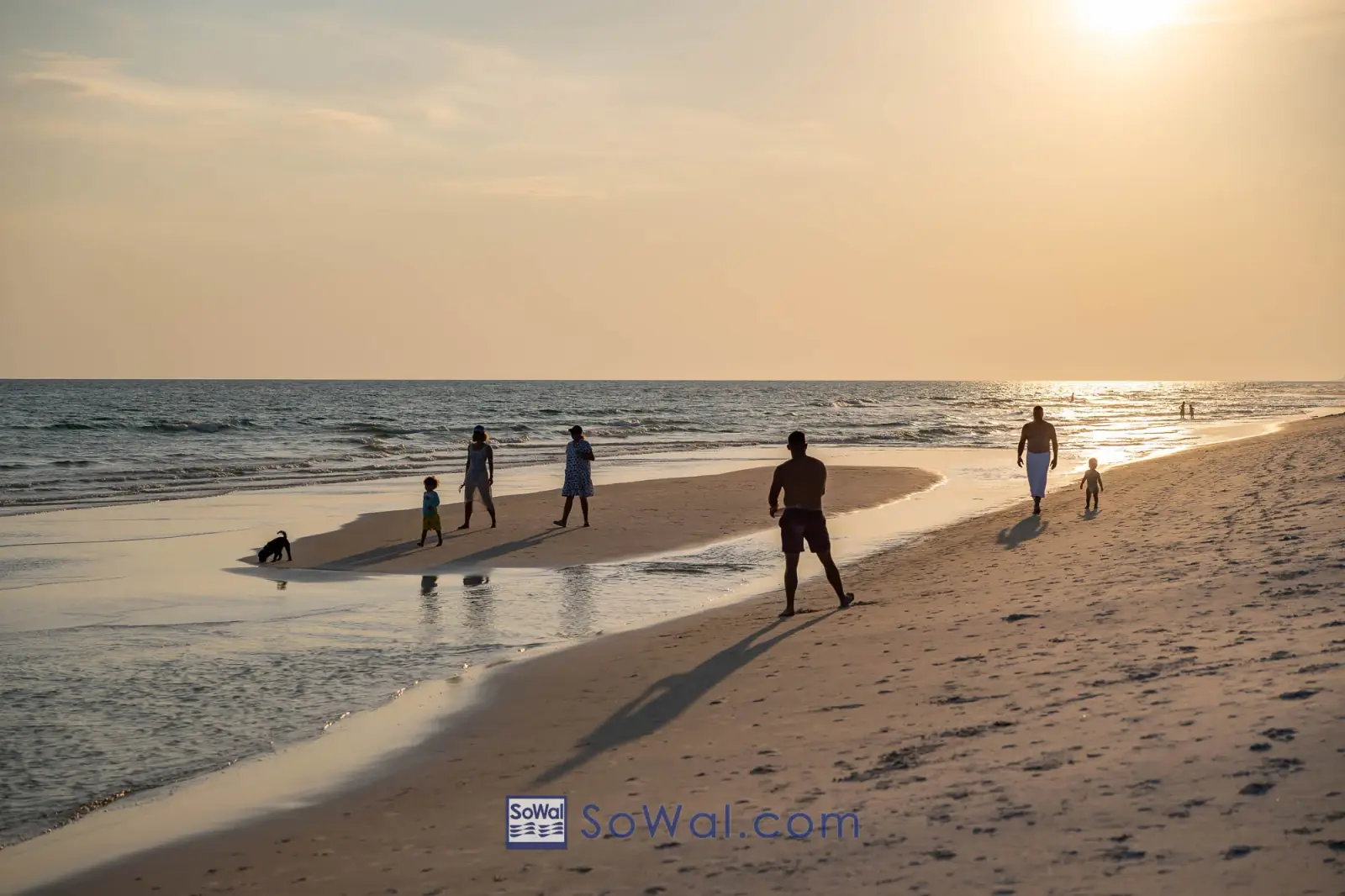
Camp Helen State Park is bordered on three sides by the Gulf of Mexico and Lake Powell, one of the largest coastal dune lakes in Florida.

Showing 1 - 12 of 29 items
Get oriented before you go.
Camp Helen State Park is bordered on three sides by the Gulf of Mexico and Lake Powell, one of the largest coastal dune lakes in Florida.

Camp Helen State Park is bordered on three sides by the Gulf of Mexico and Lake Powell, one of the largest coastal dune lakes in Florida.

Camp Helen State Park is bordered on three sides by the Gulf of Mexico and Lake Powell, one of the largest coastal dune lakes in Florida.

Deer Lake State Park is a 1,920-acre park which shares its name with the coastal dune lake within its boundaries.

Deer Lake State Park is a 1,920-acre park which shares its name with the coastal dune lake within its boundaries.

Deer Lake State Park is a 1,920-acre park which shares its name with the coastal dune lake within its boundaries.

Eden Gardens State Park consists of 163 upland acres just north of Seagrove Beach, across highway 98 in Point Washington, along the shores of Tucker Bayou and the Choctawhatchee Bay.

Eden Gardens State Park consists of 163 upland acres just north of Seagrove Beach, across highway 98 in Point Washington, along the shores of Tucker Bayou and the Choctawhatchee Bay.

Eden Gardens State Park consists of 163 upland acres just north of Seagrove Beach, across highway 98 in Point Washington, along the shores of Tucker Bayou and the Choctawhatchee Bay.
About an hour northeast of SoWal, just off I-10 at Chipley, Florida, Falling Waters State Park features huge trees and fern-covered sinkholes that line Sink Hole Trail, the boardwalk that leads visitors to Florida’s highest waterfall.

About an hour northeast of SoWal, just off I-10 at Chipley, Florida, Falling Waters State Park features huge trees and fern-covered sinkholes that line Sink Hole Trail, the boardwalk that leads visitors to Florida’s highest waterfall….

NOTE Florida Caverns State Park suffered major damage from Hurricane Michael in 2018.