Loading image

Camp Creek Lake Access
Camp Creek Lake Access is in Seacrest, just east of WaterSound Beach, on the eastern shore of Camp Creek Lake a few hundred yards north of Scenic 30A on Camp Creek Lake Road.

Showing 1 - 12 of 14 items
Get oriented before you go.
Camp Creek Lake Access is in Seacrest, just east of WaterSound Beach, on the eastern shore of Camp Creek Lake a few hundred yards north of Scenic 30A on Camp Creek Lake Road.

Camp Helen State Park is bordered on three sides by the Gulf of Mexico and Lake Powell, one of the largest coastal dune lakes in Florida.

Deer Lake State Park is a 1,920-acre park which shares its name with the coastal dune lake within its boundaries.
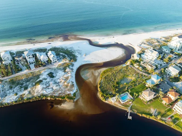
Eastern Lake Neighborhood Access is on the west side of Eastern Lake where the outfall meets the beach at the intersection of South Gulf Drive and Eastern Lake Road, about 1/4 mile south of Scenic 30A.

Eastern Lake Park is a small park just south of Scenic 30A on the east side of Eastern Lake.

Eastern Lake Park is a small park just south of Scenic 30A on the east side of Eastern Lake.

Eastern Lake Park is a small park just south of Scenic 30A on the east side of Eastern Lake.
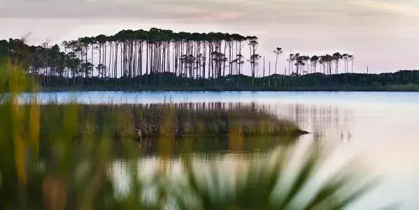
Grayton Beach State Park is one of the most popular state parks in Florida, with massive dunes, winding trails, abundant wildlife, and shimmering 100-acre Western Lake, one of many coastal dune lakes gracing Scenic Highway 30A along Scenic 30A in South Walton (SoWal).

Grayton Beach State Park is one of the most popular state parks in Florida, with massive dunes, winding trails, abundant wildlife, and shimmering 100-acre Western Lake, one of many coastal dune lakes gracing Scenic Highway 30A along Scenic 30A in South Walton (SoWal).

Lake Powell Access is in Inlet Beach on North Walton Lakeshore Drive.

Topsail Hill Preserve State Park offers a wide variety of natural resources including 3.2 miles of secluded, white sand beaches with majestic dunes over 25 feet tall.

Western Lake Access in Grayton Beach is at the eastern end of Hotz Avenue where it meets the lake, two blocks east of the red Bar.